
| Project Overview | Oblique Aerial Images of the Lower Quinnipiac River | Landscape Analysis of the Lower Quinnipiac River Marshes | Quinnipiac Marsh Downloadable GIS Data |
|
These oblique aerial images provide a broad scale perspective of the Lower Quinnipiac River marshes and their surrounding landscape. Click on the composite picture below to view the catalog of images available. 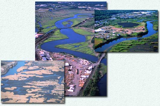
 [Main page]
[About this site]
[Email us]
[Main page]
[About this site]
[Email us]
|