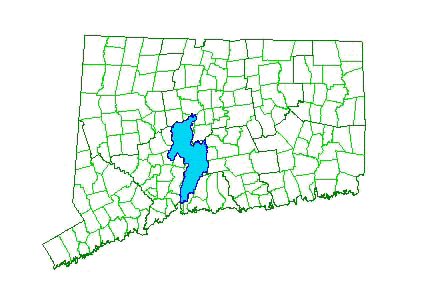


This on-line atlas is part of the Quinnipiac
River Watershed GIS supported by the Quinnipiac River Fund. The
main purpose of the atlas is to provide 1) maps depicting various
types of information for each sub-basin in the watershed, 2)
reports and other types of information about the watershed and 3)
links to other web sites which focus on the QRW and/or provide
related information. The maps and reports can be downloaded and
we hope that they prove to be a valuable resource to the
residents of the watershed and those concerned with protecting
and restoring this important natural resource in Connecticut. In
particular, we hope that, in conjunction with other web sites
focusing on the watershed, this atlas will be especially valuable
to teachers and students in primary and secondary schools, as
they explore their watershed.

[Main page] [Projects and Reports] [Download GIS Coverages] [Email us]


![]()

![]()