- Click on the thumbnail to view full image.
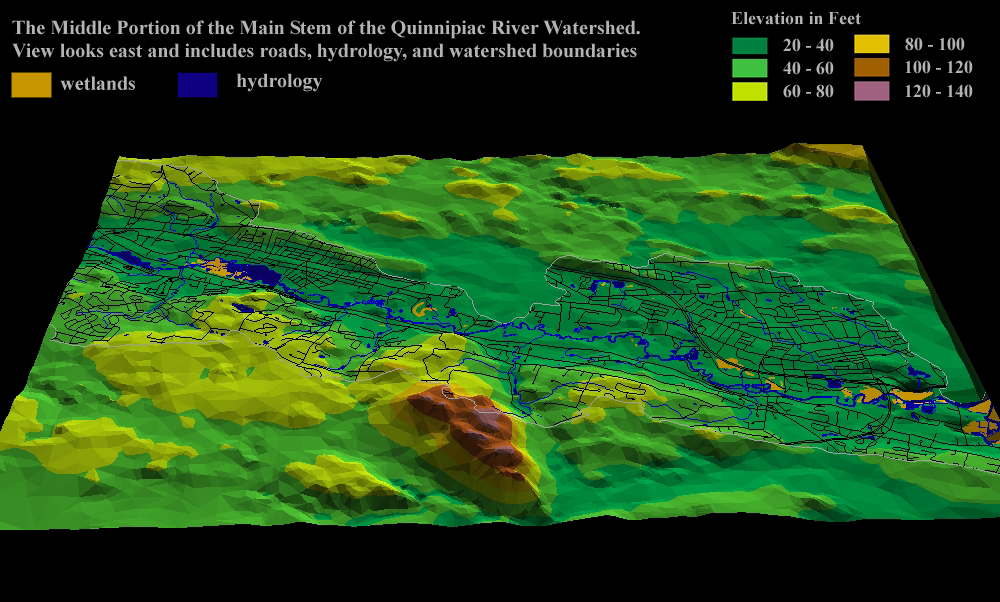 |
View looks east and includes roads, hydrology, and watershed boundaries. |
|
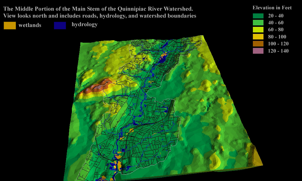 |
View looks north and includes roads, hydrology and watershed boundaries. |
|
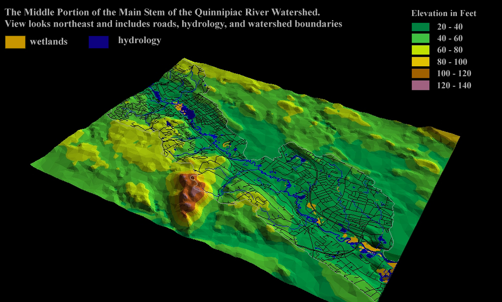 |
View looks northeast and includes roads, hydrology and watershed boundaries. |
|
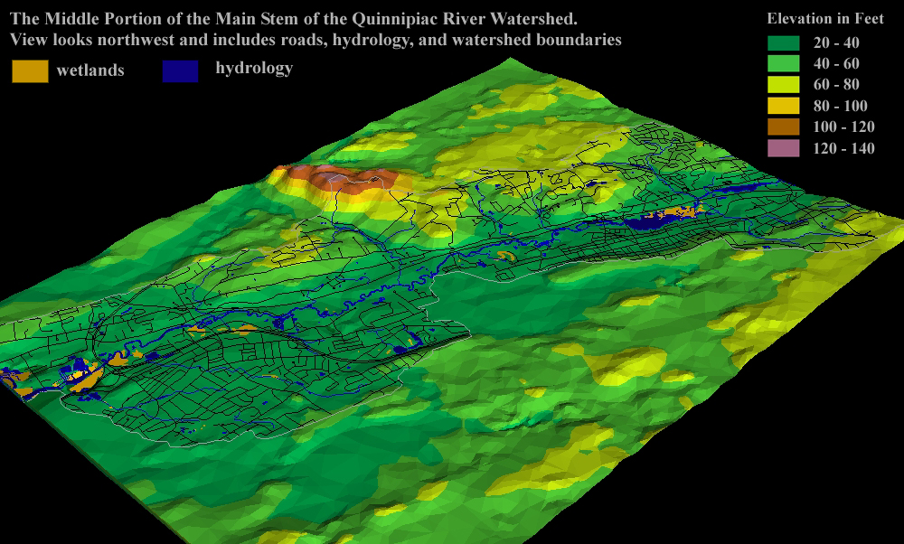 |
View looks northwest and includes roads, hydrology and watershed boundaries. |
|
 |
View looks southeast and includes hydrology and watershed boundaries. |
|
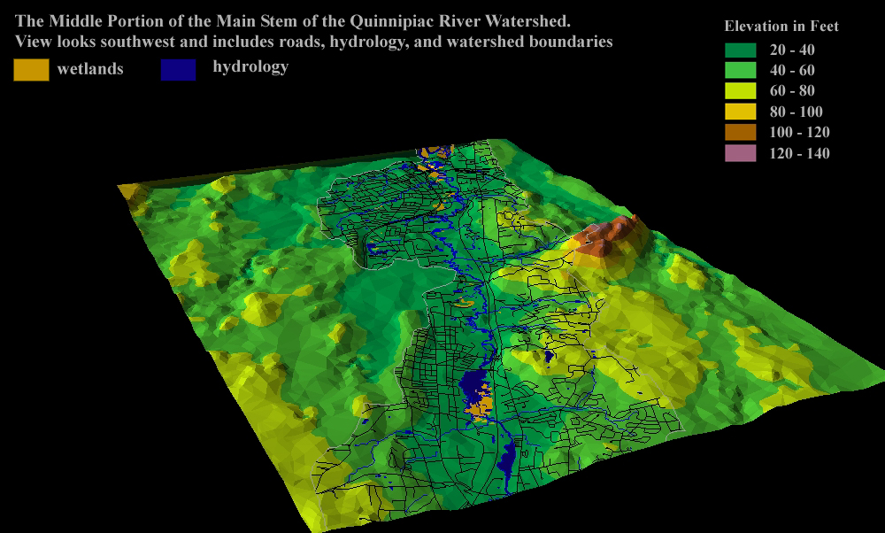 |
View looks southwest and includes roads, hydrology and watershed boundaries. |
|
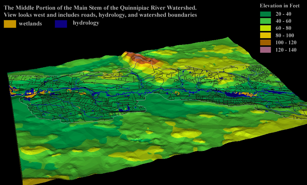 |
View looks west and includes roads, hydrology and watershed boundaries. |
Back to: |
To download the GIS coverages used
to develop the maps above go to: |